Map & Data Layers
A lot can be going on the map. AlphaSight provides a flexible map interface that supports multiple data layers for enhanced situational awareness. Users can toggle the visibility of each layer and adjust its opacity to suit their operational needs.- Toggle Visibility: Enable or disable individual layers to control what is displayed on the map.
- Adjust Opacity: Fine-tune transparency of each visible layer for optimal map readability and data overlay.
Supported Layers
Some layers (e.g. orthomosaic) require prior data processing or import. Others (e.g. tags) are created directly within AlphaSight.Base Layers
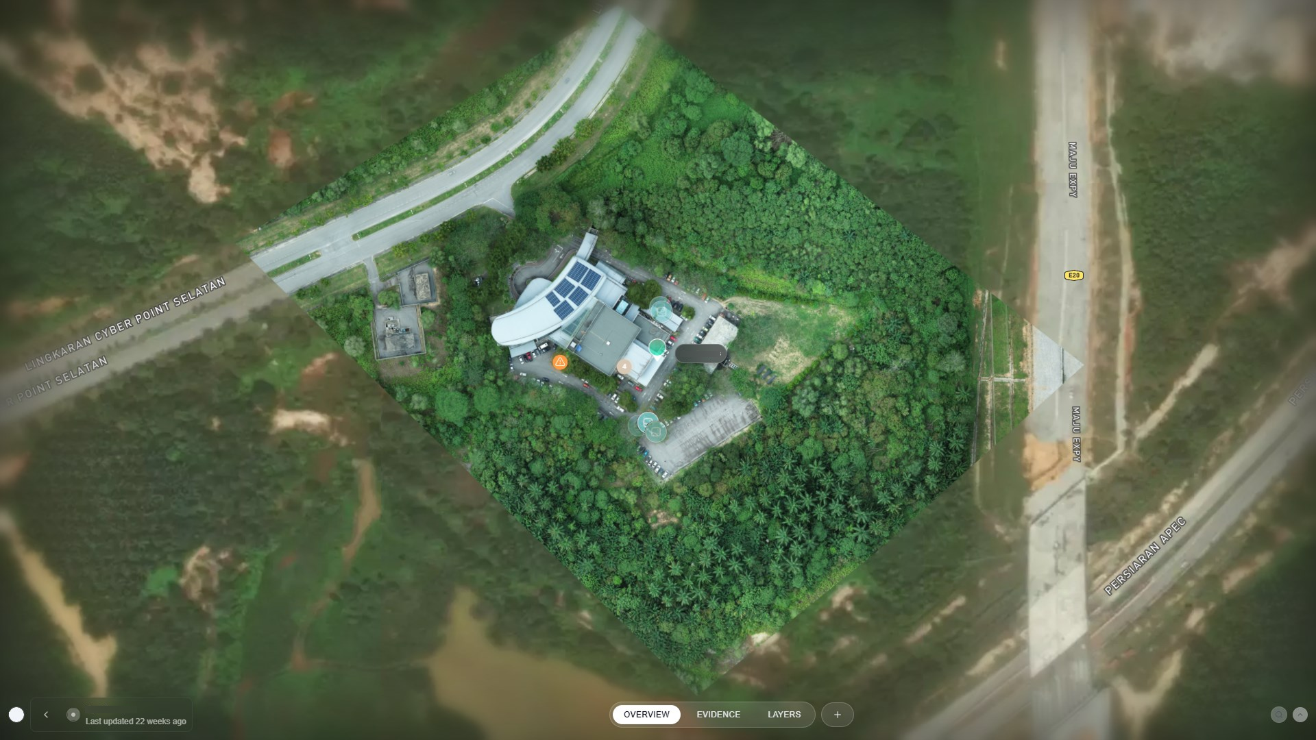
Orthomosaic
A high-resolution, georeferenced aerial image generated from drone surveys.
Vector Layers
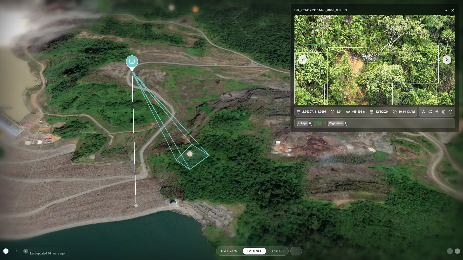
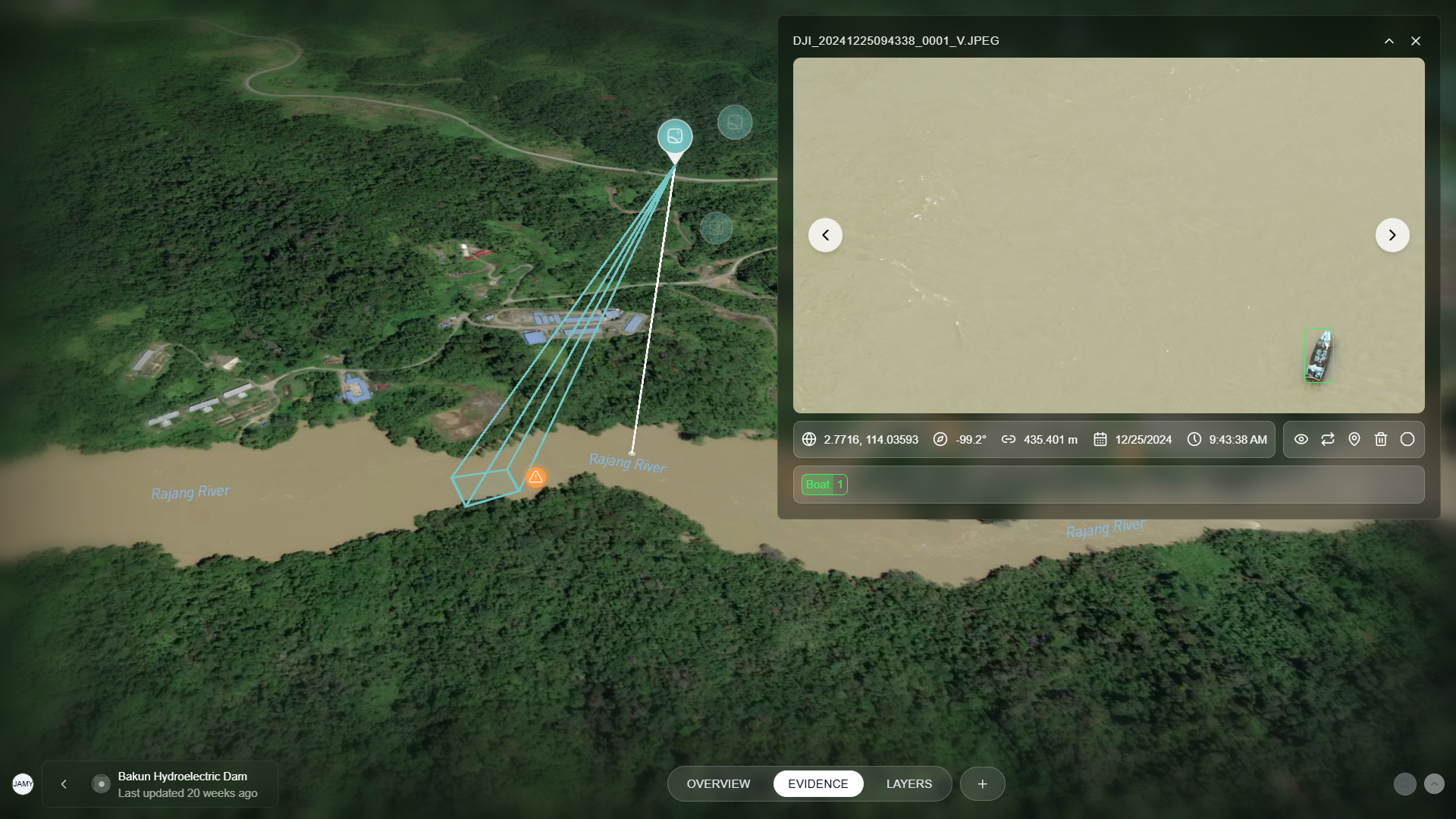
Floating Photos
Geotagged images from field operations, displayed at their capture locations.
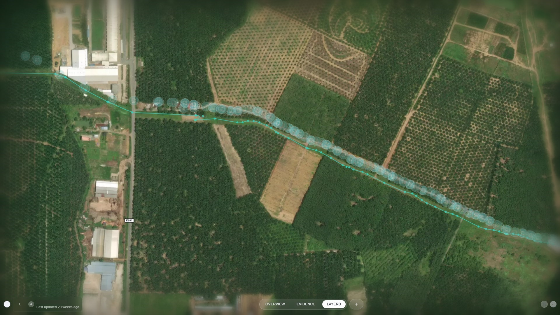
Paths
Visual traces of device routes from drones to mobile, auto-generated from telemetry data.
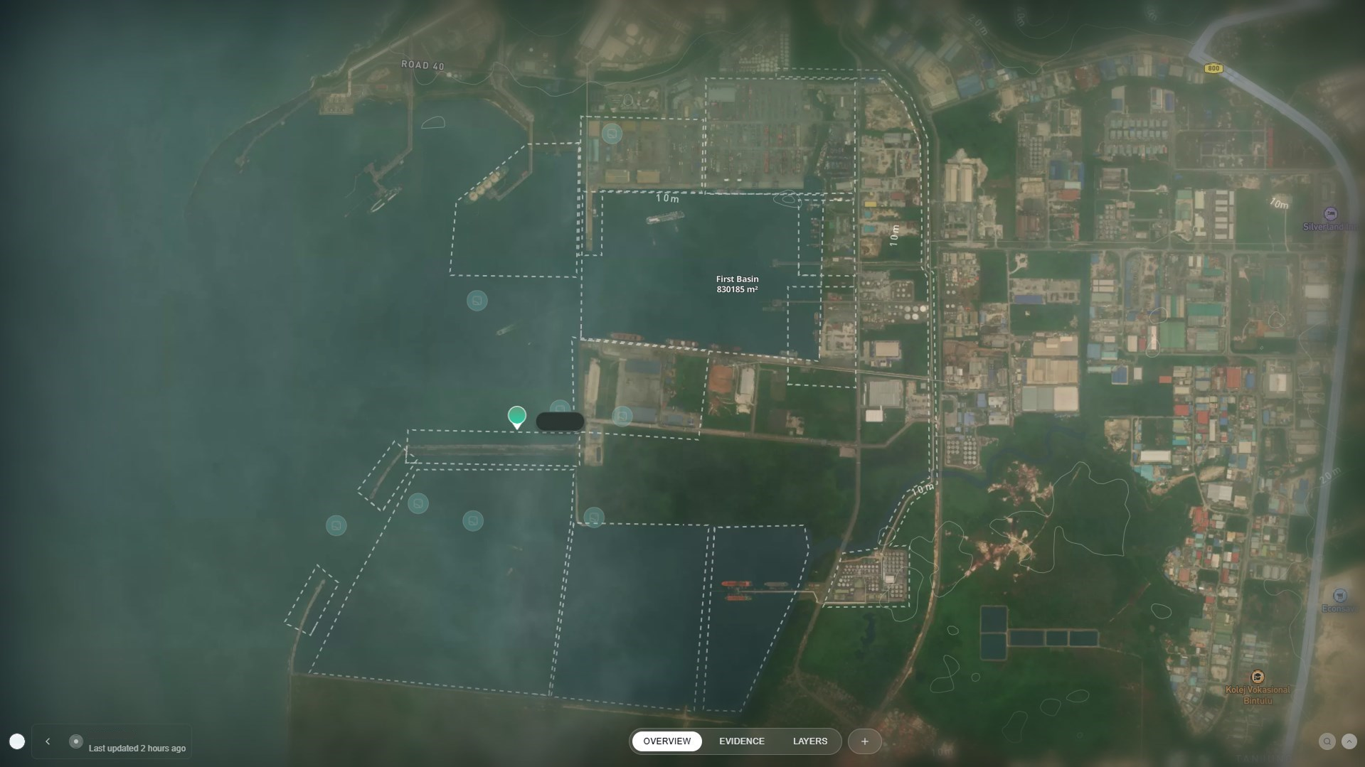
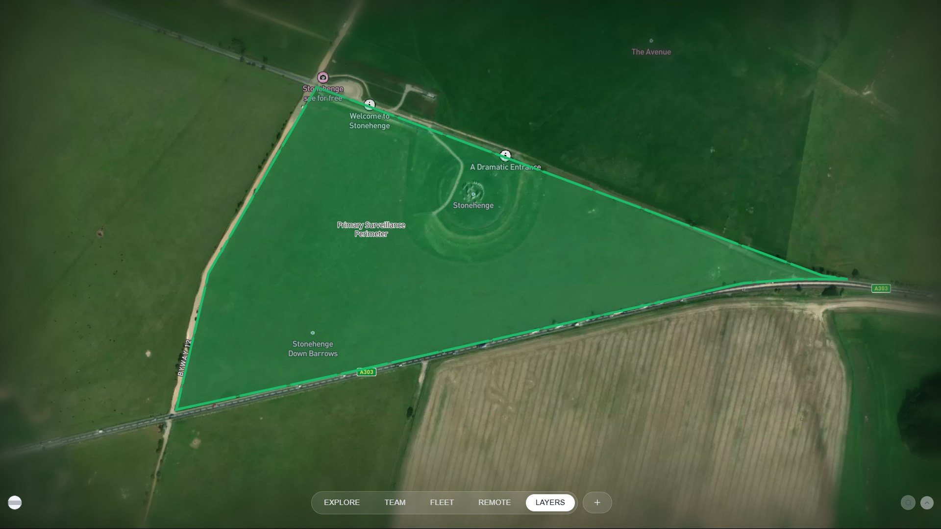
Site Boundary
A polygon outlining the operational site, typically imported or defined during setup.
Annotations
Geolocalised tags projected on map for situational awareness.
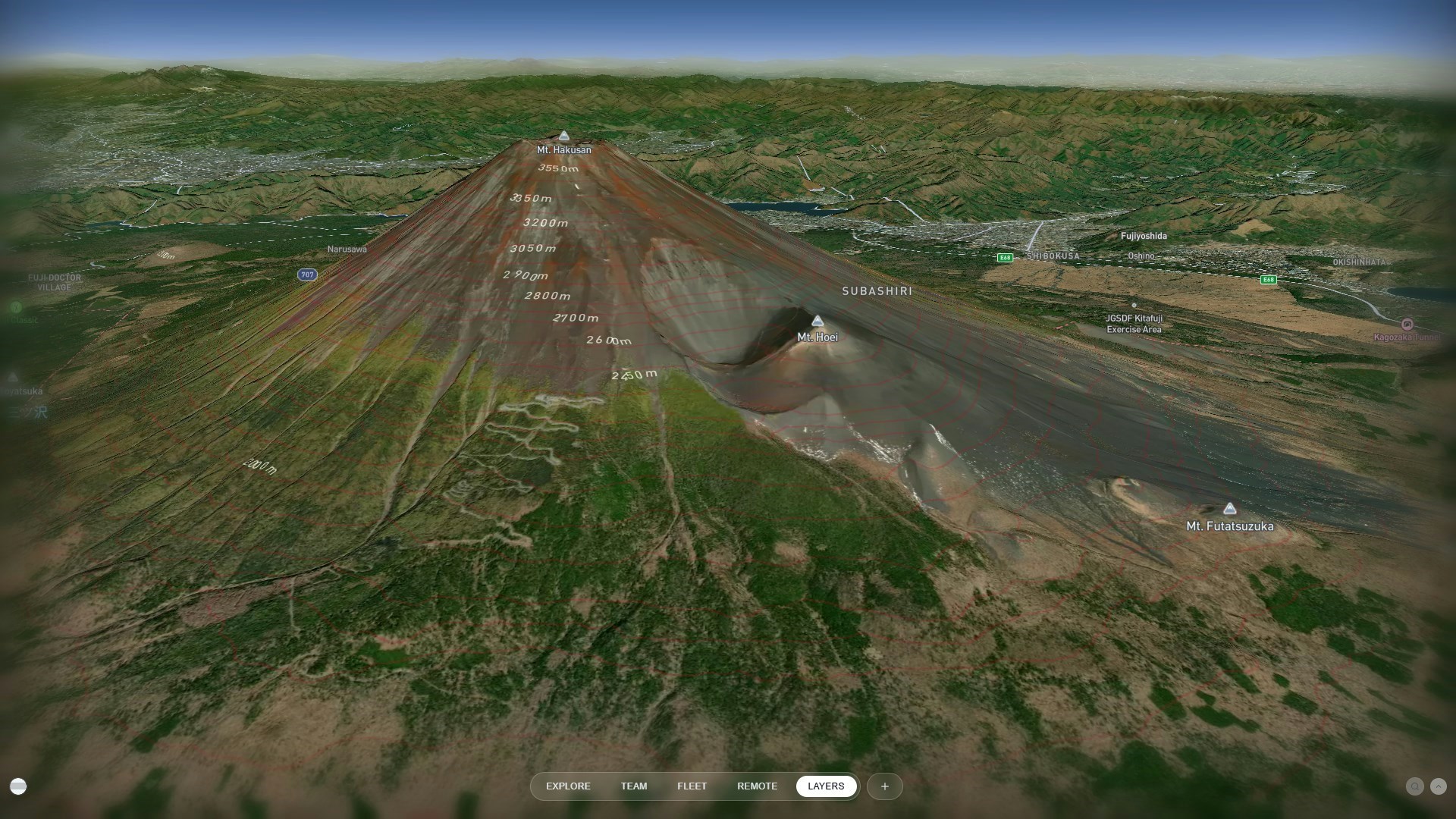
Contour Lines
Elevation contours derived from terrain or LiDAR data to visualize topography.
Operational Layers
Drone Fences
User-configured virtual boundaries restricting drone flight to designated areas.
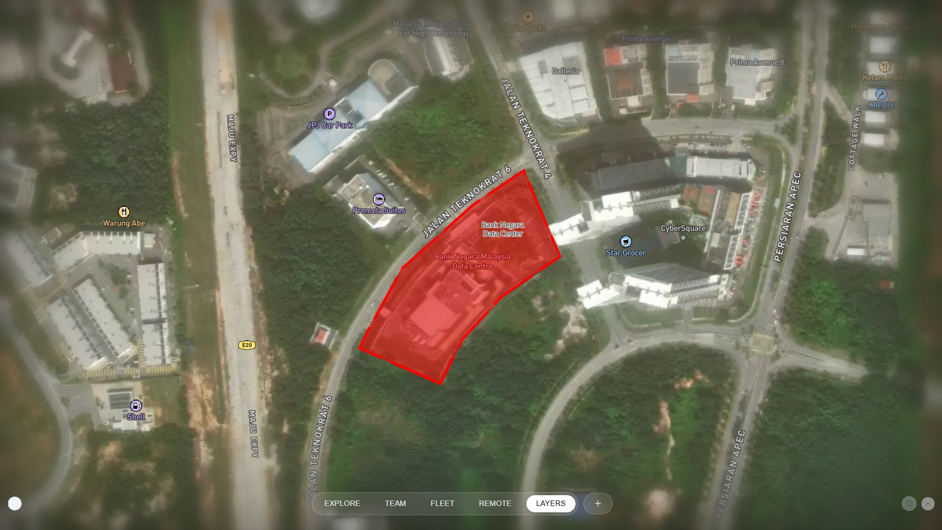
No-Fly Zones
Prohibited flight areas defined by regulations or operational policies.
3D Layers
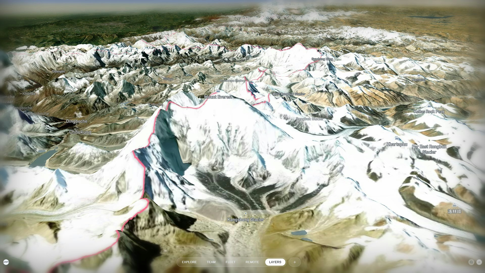
Terrain
A 3D elevation model of the area, generated from photogrammetry or DEM data.