What Sets AlphaSight Apart
Real-Time Multi-Device Coordination
Real-Time Multi-Device Coordination
AlphaSight enables real-time coordination across fleets of drones, ground sensors, and IoT devices. Teams can monitor, control, and synchronize multiple assets simultaneously, ensuring unified operations and rapid response to emerging events.
4D Common Operating Picture
4D Common Operating Picture
Data from all connected devices is visualized in 4D (xyz + time), providing a dynamic Common Operating Picture. This comprehensive view allows operators to track assets, incidents, and changes as they unfold, supporting informed, data-driven decisions in fast-moving environments.
Automated Situational Summaries
Automated Situational Summaries
AlphaSight automatically generates situational summaries based on tagged threats and findings, keeping all stakeholder up-to-date with little information fatigue. Critical information is synthesized and surfaced, enabling understanding of evolving situations and supporting effective, coordinated action.
Global Support, Local Expertise
Global Support, Local Expertise
Access support anytime from a dedicated team with regional knowledge backed by Aerodyne’s extensive global operations, ensuring you receive timely assistance and compliance guidance tailored to your local region. Whether you’re operating in urban centers or remote environments, our experts are always close at hand to help you maximize platform value and operational uptime.
The Aerodyne Way
The Aerodyne Way
AlphaSight is built by Aerodyne, #1 global drone service provider with over 10 years of industry expertise. Operating in 45+ countries, we support clients across security, agriculture, logistics, and critical infrastructure—helping address grand challenges in food and energy security for national resilience.

752,700+ Critical Assets Inspected
Ensuring uninterrupted critical services everyday, every hour.
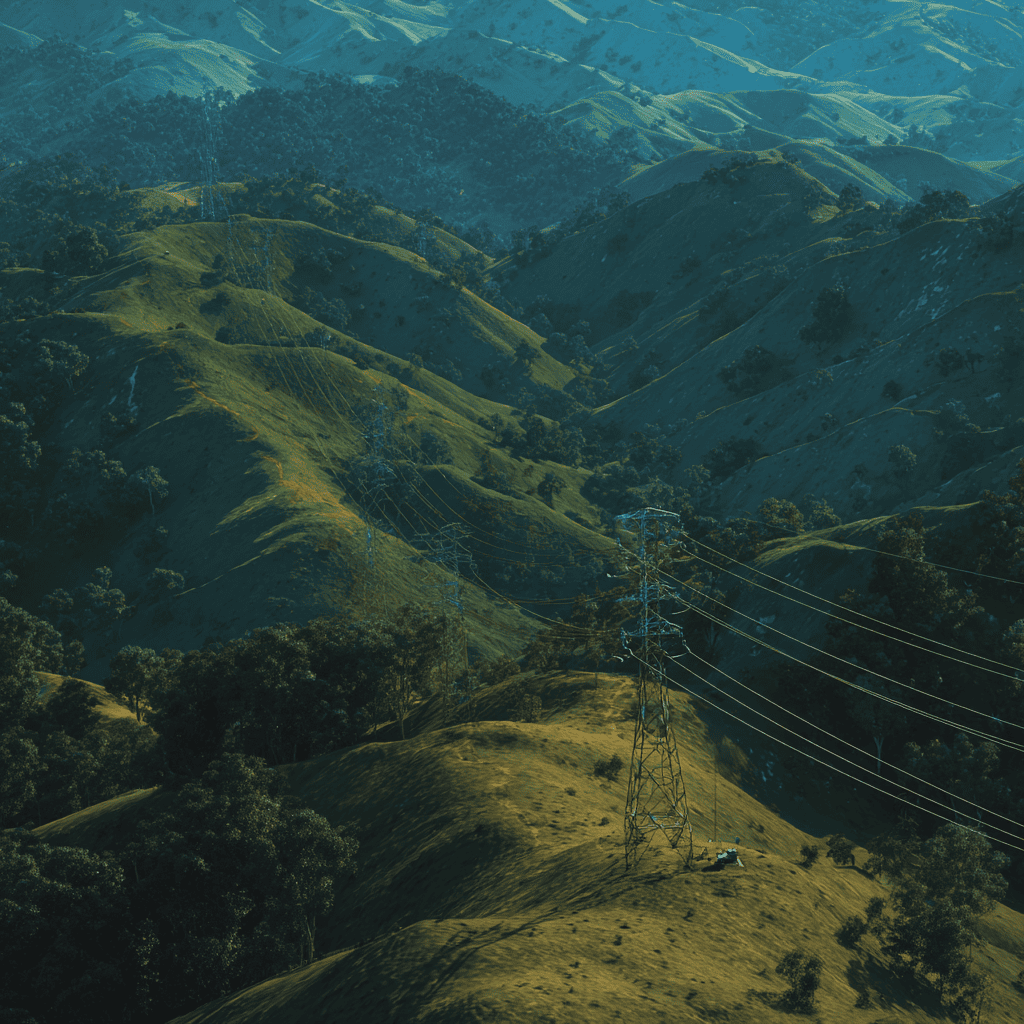
722,000 km Powerlines Surveyed
Supporting resilient and efficient energy infrastructure worldwide.
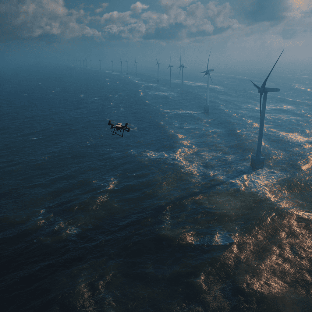
10,100 Wind Turbines Inspected
Advancing clean energy goals and operational safety.
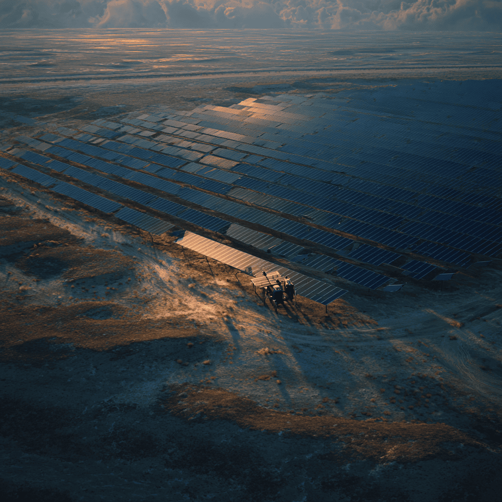
8,300 MW Solar Assets Inspected
Accelerating the transition to sustainable energy systems.
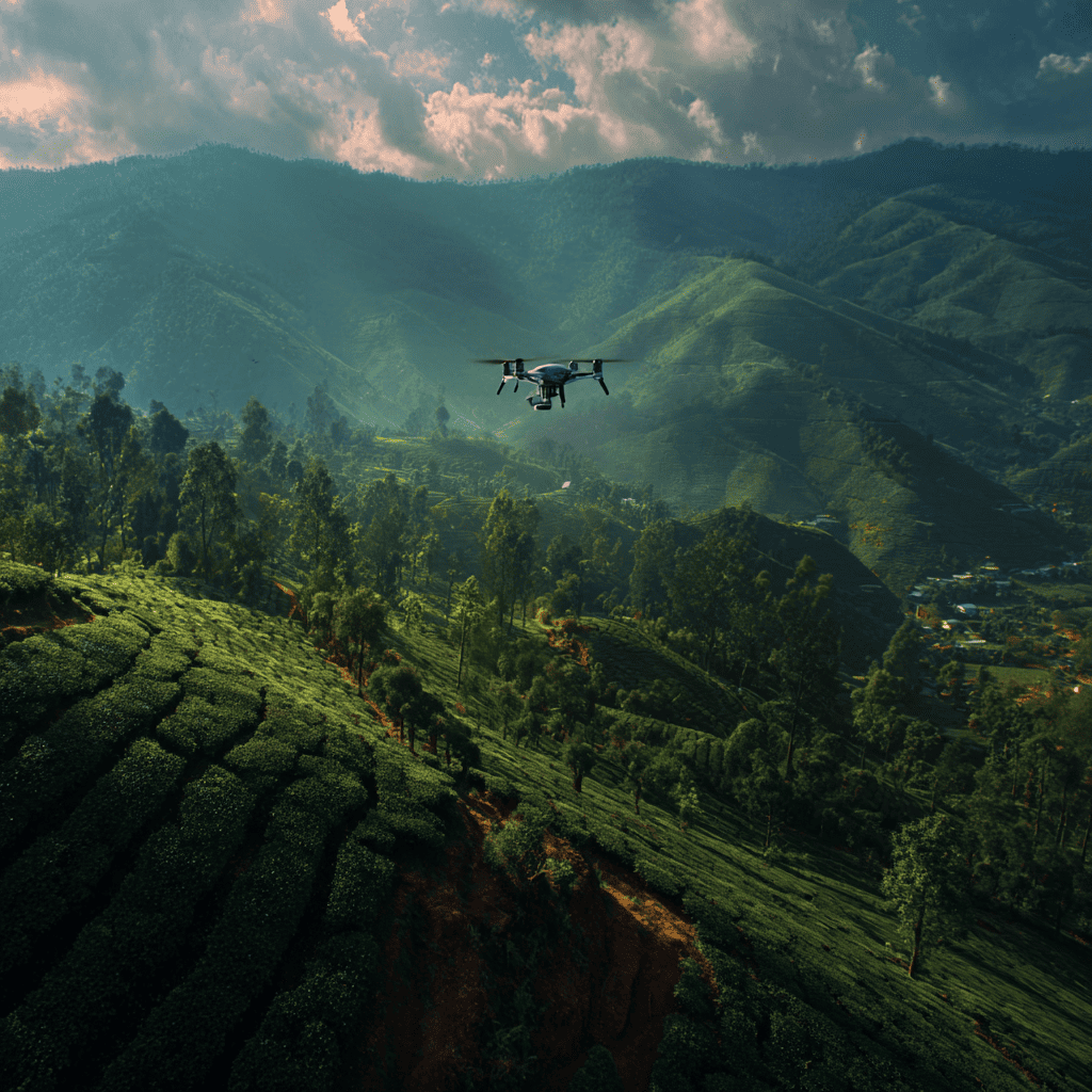
500,000 ha Plantation Coverage
Enabling precision agriculture and sustainable land management at scale.
10 Million+ Flight Hours
Extensive operational experience for reliable and safe mission delivery.
Comparative Analysis
| Capability | AlphaSight | DroneDeploy |
|---|---|---|
| Intelligence Analysis | ✅ AI-driven threat detection, auto-tagging, and actionable alerts | ✅ AI insights for mapping, annotation, and measurement |
| Data Visualization | ✅ Visualizes findings in 4D (xyz + time) for situational awareness | ✅ 2D/3D mapping, Live Map, and progress tracking |
| Deployment Options | ✅ Cloud, on-premise, and hybrid deployment | 🌟 Cloud-based for easy, scalable access |
| Operational Domain | ✅ Security, monitoring, and real-time operational intelligence | 🌟 Mapping, surveying, and construction documentation |
| Skill Requirement | ✅ Built for owners, analysts, and field teams | 🌟 Geared toward drone operators and mapping professionals |